Working Papers
Europe, We Have a Problem! Local Economic Winners and Losers of Border Closures
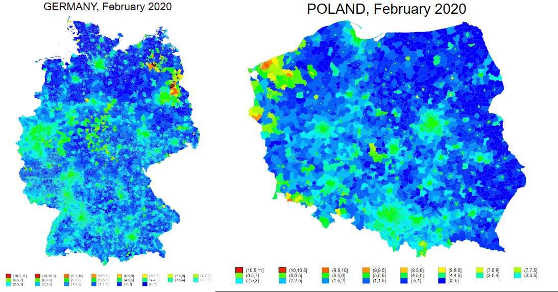
In response to COVID-19, Schengen countries temporarily reintroduced internal border controls, disrupting cross-border integration. Using this policy change as a natural experiment and monthly nighttime lights data, we estimate the short-run effects on European municipalities. Municipalities along internal Schengen borders experienced a 3–4% decline in economic activity relative to interior municipalities, with larger estimated effects when external-border municipalities form the comparison group. Losses were greater in smaller and less densely populated municipalities and along economically asymmetric East–West borders, whereas municipalities along more economically similar borders generally experienced smaller declines.
Selected Work in Progress
-
If at First You Don’t Succeed, Revise, Revise Again: Inequalities of GDP Revision
joint with Jan Fidrmuc (University of Lille) -
Political Connections and Inequalities: Evidence from a Moving Parliament
joint with Max Nathan (UCL) and Irakli Barbakadze (UCL) -
The Regional Fabric of Ethnic Discrimination in Access to Childcare
joint with EqualStrength -
Do Roma Families Face Discrimination in Childcare Access? A Cross-National Field Experiment
joint with EqualStrength